|
|
|||
|
||||
|
Updated: August 30, 2001 |
|
|
|||||||||||||||||||||||||||||||||||||||||||||||||||||||||||||||||||||||||||||||
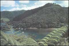
 The western side of Great Barrier has rugged hillsides and rocky beaches |
|
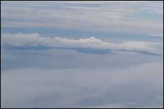
 Aotea means "white cloud" which is typical of the cloud cover over the island |
There are over 50 islands in the Hauraki Gulf, some of which DoC manage as island reserves such as Little Barrier Island.
Of all the islands in the Gulf, Great Barrier is the largest. It is 15km at its widest point and 40km long. It comprises a land area of 285 square km. Great Barrier includes 23 islands plus many islets and rock outcrops.
The islands of Great Barrier lie across the entrance to the Hauraki Gulf. In 1769 Captain Cook named the islands the Barrier Isles because they shelter the inner gulf from the easterly seas and stormy weather. Maori knew the islands as Aotea (White Cloud).
Great Barrier Island is 17km from Coromandel Peninsula and is separated by the Colville Channel. It is approximately 100km to downtown Auckland. Hirakimata is the highest mountain at 621m and is located in the centre of the island.
Great Barrier Island is subject to two high and two low tides per day. The total water level changes at high and low tides are between 1.8 and 2.4m. The water temperature ranges from a high of 21ºC in summer to a low of 12ºC in winter conditions.