![]()
![]()
![]()
![]()
![]()
![]()
![]()
![]()
![]()
![]()
![]()
![]()
![]()
![]()
![]()
![]()
![]()
![]()
![]()
![]()
![]()
![]()
![]()
![]()
![]()
![]()
![]()
![]()
![]()
![]()
![]()
![]()
![]()
![]()
![]()
![]()
![]()
![]()
![]()
![]()
![]()
![]()
![]()
![]()
![]()
![]()
![]()
![]()
![]()
![]()
![]()
![]()
CLOUD CLASSIFICATION
Clouds form when moisture in the air condenses on particles in the air. There are many different types of clouds and scientists classify them by their shape and altitude. The three mian types of clouds are cumulus, stratus, and cirrus. The following cloud pictures below show 10 of the most common clouds that we see on a given day.
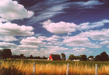
Cumulus Clouds - heaped up in piles (up to 20,000 ft.)
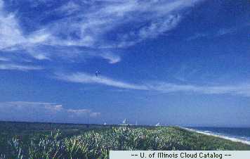
Cirrus Clouds - delicate, threadlike clouds (above 20,000 ft)

Cirrocumulus Clouds - small tufts of cotton (above 20,000 ft)
Stratocumulus Clouds - uneven sheet with ligh and dark patches (below 5,000 ft.)

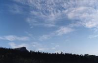
Cirrostratus Clouds - thin sheet that causes a halo around the sun or moon (above 20,000 ft)
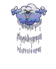
Nimbostratus Clouds - smooth layer of grey (usually 6,000 -20,000 ft)


Altocumulus Clouds - layers piled together (6000-2000 ft)
Stratus Clouds - smooth, even sheet (below 5,000 ft)

Altostratus Clouds - smooth white or grey sheet (6000- 2000 ft)
Cumlonimbus Clouds - deep piles (5,000 to 16,000 ft. thick can reach up to 60,000 ft. thick