|
|
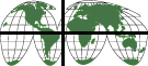
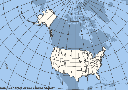
Latitudes are the lines that run across, or round the world. Longitude is the lines that run from top to bottom of the globe, starting at one pole, and ending at the other. They are close together at the poles, and far apart at the equator.
|
When you take a round globe, and cut it to lay it out flat on a piece of paper (which is what you do when you make a map), the lines don't look straight any more. That is because they go around a round object - the earth. It also distorts countries, and makes some of them look bigger than they really are, and some a lot smaller. 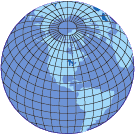 |
|
|
|
Often we talk about the northern hemisphere - the half of the globe above the equator, and the southern hemisphere - the half below the equator. New Zealand is in the southern hemisphere. |